GEOSPATIAL TECHNOLOGY
Terradynamics is using the latest cutting-edge geospatial technologies and software to obtain a wide variety of geographic information ranging from environmental mapping to business analysis mapping. Terradynamics is largely focused on quality and accuracy of data. The company has the ability to produce a wide variety of maps, ranging from customized field maps on weatherproof paper to maps that display digital geographic modeling and geographic time analysis.
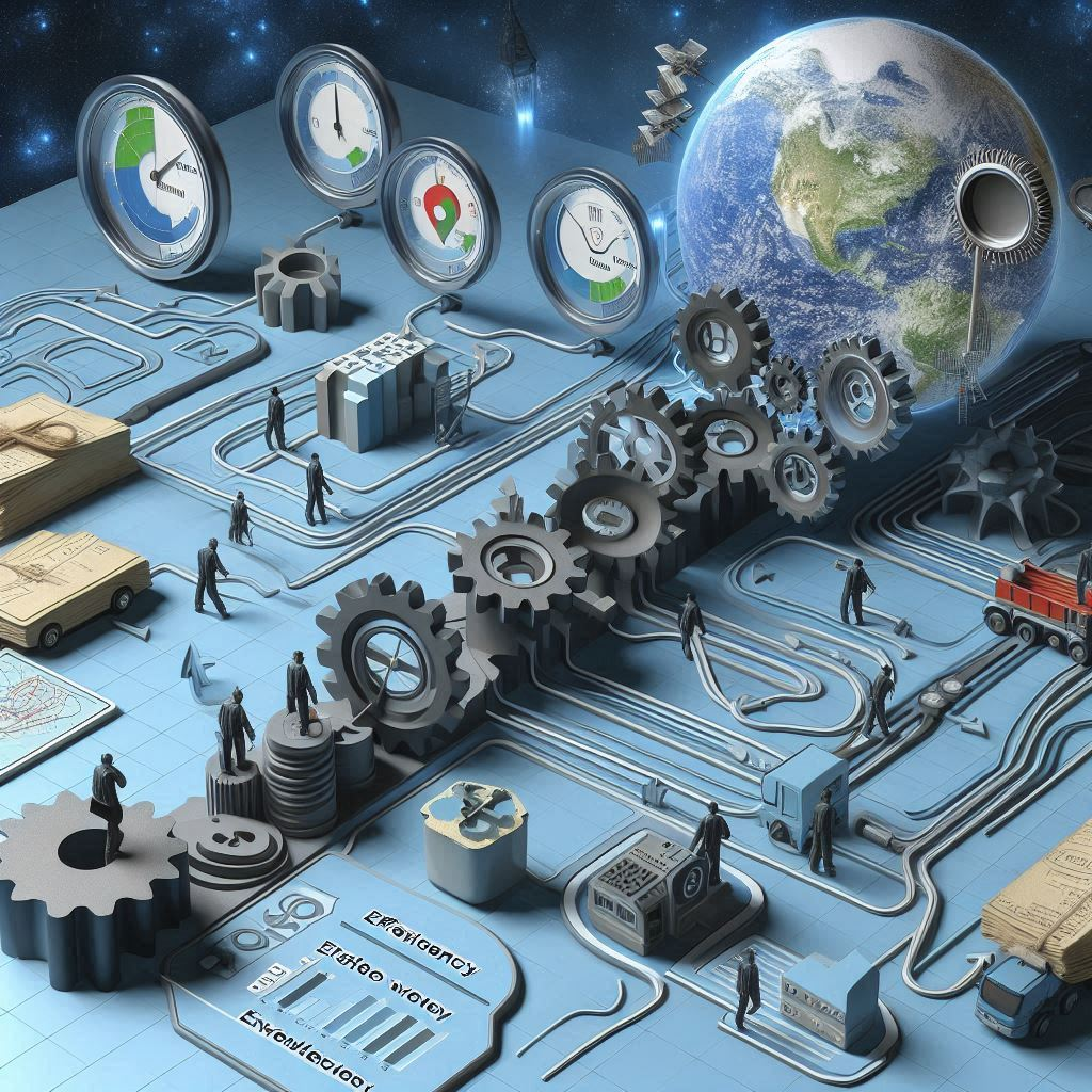
Efficiency to workflow
Terradynamics brings efficiency to workflow. In such a fast-paced culture, the efficiency of the modern map is essential to the workflow of business. Data is everything. Terradynamics has the ability to improve business efficiency by putting together an abundance of necessary information that serves as a representation of any given location. Maps are representations of reality, working as a tools to assist companies in making informed decisions.
PROVIDINg TECHNOLOGy for resource management
The Terradynamics mission is to focus on improving industry, communities, and the environment by improving perception through geospatial data. We provide data collection services through the use of cutting-edge GPS, mapping, and drone technology. We are able to help companies make better choices by providing services such as high-definition drone aerial mapping, multispectral analysis, vegetation monitoring, erosion analysis, construction site monitoring, infrared analysis, change detection analysis, study design, resource management services, and more. In addition, Terradynamics can help your company stay in compliance with federal, state, and local agencies. If you are looking to make better informed decisions, Terradynamics is your resource.


